


Brazilton Voting District, Crawford County, Kansas
About
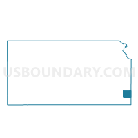
Outline

Summary
| Unique Area Identifier | 584441 |
| Name | Brazilton Voting District |
| County | Crawford County |
| State | Kansas |
| Area (square miles) | 16.06 |
| Land Area (square miles) | 15.97 |
| Water Area (square miles) | 0.09 |
| % of Land Area | 99.41 |
| % of Water Area | 0.59 |
| Latitude of the Internal Point | 37.59064540 |
| Longtitude of the Internal Point | -94.98093300 |
Maps


Graphs
Select a template below for downloading or customizing gragh for Brazilton Voting District, Crawford County, Kansas


Neighbors
Neighoring Voting District (by Name) Neighboring Voting District on the Map
- Crawford Voting District, Crawford County, KS
- Grant Voting District, Crawford County, KS
- Sherman Voting District, Crawford County, KS
- Walnut Township Voting District, Crawford County, KS
- Walnut-Helper Voting District, Crawford County, KS
Top 10 Neighboring County Subdivision (by Population) Neighboring County Subdivision on the Map
- Crawford township, Crawford County, KS (928)
- Walnut township, Crawford County, KS (577)
- Sherman township, Crawford County, KS (536)
- Grant township, Crawford County, KS (236)